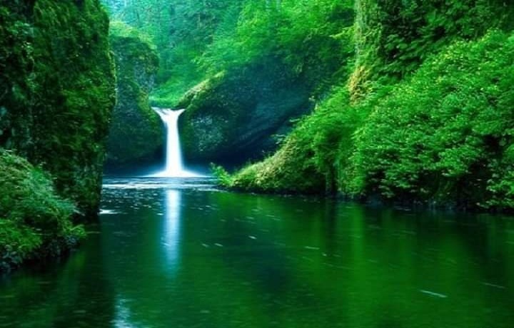
Mtirala National Park (Western Georgia, Region of Adjara)
Mtirala National Park is a rare and unique place in its natural beauty. This rock massif with an area of 15.8 thousand hectares is the national park of Adjara. It is located at an altitude of 1761 m above sea level on Mount Mtirala, which means “Crying” in Georgian. The mountain got its name due to the fact that it often rains and fogs in the Mtirala Park. Due to the huge amount of precipitation falling per year (4.5 thousand mm), Mtirala is considered the wettest place in Europe. This is a fabulous unique corner of the pristine nature untouched by man.
The landscape of the park is represented by stepped terraces descending to the sea. Each level has its own unique plants and trees characteristic of this climatic zone. Almost all the trees in the park are covered with moss. Here you can find mixed coniferous forests, beech plantations, Pontic oaks, Colchis forests, gorges, waterfalls, boxwood groves and chestnut forests, mountain rivers, alpine meadows with a variety of herbs and flowers and crystal-clear mountain air, which is impossible to breathe. The park has many healing springs with simple and mineral water located on the mountain slopes.
Experts believe that this is practically the only place on Earth where such a rare and unique flora can be found. There are one and two-day hiking trails in the Mtirala National Park. The trail is marked and comfortable. Places for picnics and campsites are arranged, a campfire site is separated, and on the 9th km of the trail there is a tourist shelter Mtirala, where you can spend the night. The national park offers tourists hiking, horse riding, scientific and ecological tours.
Travel company «Georgia Voyage», gives tourists the opportunity to receive all the necessary information. For more information, do not hesitate to call us or write us Viber / WhatsApp +995 599 25 65 19 or an E-mail : info@georgiavoyage.ge![]() We are always ready to advise you and answer all your questions, regarding the organization of tourism and recreation in Georgia.
We are always ready to advise you and answer all your questions, regarding the organization of tourism and recreation in Georgia.
The program of each hike is discussed and planned individually, taking into account your wishes, for a better overview of the paths and hikes on the territory of Mtirala National Park.
Marked and organized by us trails:
1.Chestnut Trail – 7 km. 1 day, walking, difficulty- easy
The tourist route is walking and is intended for educational and entertainment purposes. It unites two significant places – a waterfall and a lake. What makes this path attractive is the young undergrowth of cherry laurel, Colchis boxwood and various types of plush. The route is located at an altitude of 265-442 m above sea level and runs along the beautiful gorge of the Chakvistskali River. On the 6th kilometer of the road, there is a waterfall, immersed in Colchis boxwood and plush, with a fall height of more than 15 m. Near the waterfall, in the bosom of nature, there are special places for camping. There are also places for picnics and fire-lighting.
2.Tsivtskaro – 15 km. 2 days, hiking / horseback, difficulty – medium
The beginning of the trail is represented by a mixed broadleaf forest of the Colchis type, at the end of the trail 70% is a beech forest. In addition to vegetation, it is also possible to find traces of roe deer, marten, badger, chamois and other representatives of the fauna. During the route, there are natural springs on the trails. On this route, mostly virgin forest is found, where it is possible to arrange scientific research of flora and fauna.


